Kenneth Glad

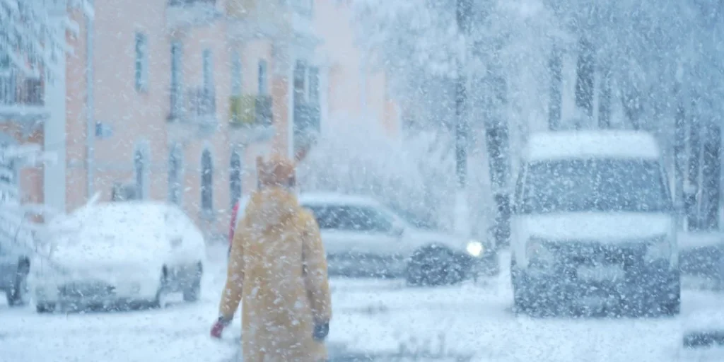
Winter brings a familiar set of routines, from digging out heavy coats to scraping ice off windshields. But this year, the atmosphere is tearing up the usual rulebook. A massive shift high above the clouds could flip our seasonal expectations completely upside down.


High above the Arctic Circle sits a powerful ring of winds known as the polar vortex. This invisible barrier acts like a giant dam. It traps the most bitter winter chill near the North Pole.
But that dam has just broken. According to Wired, the protective circulation of winds has temporarily collapsed.
And the timing is completely unprecedented. Records show these disruptions normally happen much later in the winter season, yet this breakdown began on Tuesday.
Atmospheric traffic jams
Experts know exactly what happens when this high-altitude wall weakens. Intensely cold air escapes the Arctic, spilling southward across the northern hemisphere.


A simple dip in the winds brings a brief snap of freezing temperatures. Sometimes, however, the entire barrier fractures completely. That is when multiple smaller pressure pockets break off from the main ring.
These fractured segments create atmospheric traffic jams. They pin masses of sub-zero temperatures over specific cities, leaving locals shivering for weeks on end.
We saw this exact scenario play out with devastating effect in early 2015. A disrupted vortex sent a punishing wave of cold across the eastern United States. Wired notes that the freeze drove temperatures in Lexington, Kentucky, down to minus 18 degrees Fahrenheit.
A chaotic climate clash
Forecasters currently face a massive guessing game. The atmosphere does not shift overnight, so it can take weeks for these high-altitude changes to actually affect daily weather on the ground.
Meteorologists struggle to look beyond a ten-day window with any real accuracy. That leaves them in the dark about which regions will face the brunt of this frozen plunge. The situation is complicated further by another historic weather event.
We are already dealing with an exceptionally fierce El Niño. Ocean temperatures off the Americas have reached unprecedented highs, pouring extra heat into the global system. Normally, this would mean a much warmer winter for North America.
But these are not normal circumstances. With two unprecedented climate forces colliding, Wired reports that standard seasonal forecasts are suddenly in doubt. No one knows exactly what will happen when these extreme weather patterns clash.