 Henrik R
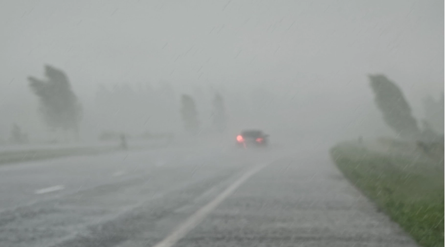
East Coast braces for impending tropical disturbance.


Warnings for a possible tropical storm have been declared, stretching from North Carolina’s coast up to Delaware. This comes as a potential cyclone looms closer to the heavily populated East Coast. The National Hurricane Center has named this system “Potential Tropical Cyclone Sixteen.”
As of the latest update, the system was situated approximately 355 miles southeast of Charleston, South Carolina, and was moving northward at a speed of 9 mph. The maximum winds recorded were 35 mph.
The term “potential tropical cyclone” is used to describe a system that could bring tropical storm or hurricane conditions to land areas within the next 48 hours. The system is expected to make landfall in North Carolina by late Friday or early Saturday.


Maria Torres, a meteorologist and public affairs officer at the National Hurricane Center, urged residents along the Atlantic seaboard to monitor the storm closely. She advised people to gather essential supplies and prepare for the storm’s arrival within the next 24 to 48 hours.
The storm is expected to bring tropical storm force winds and storm surges, primarily affecting the Southeast and Mid-Atlantic states.
The tropical storm warning encompasses areas from Cape Fear in North Carolina to Fenwick Island in Delaware, including parts of the Chesapeake Bay and Albemarle and Pamlico Sounds.
Virginia’s emergency management has also issued warnings for heavy rainfall, strong winds, and potential flooding.
In addition to the low-pressure system, North Carolina is also expected to experience large swells from the distant Hurricane Nigel, increasing the risk of rip currents.
A storm surge watch has been issued from Surf City, North Carolina, to Chincoteague, Virginia, with expected surges between 2 and 4 feet.
Meanwhile, Hurricane Nigel continues to move rapidly over the Atlantic as a Category 1 storm, with maximum sustained winds of 85 mph. The system is expected to weaken in the coming days.


