Jens Asbjørn Bøgen
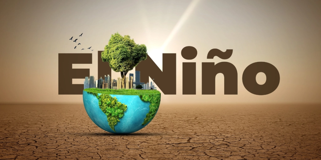
Pacific ocean surface temperatures are shattering records, raising fears of severe weather, agricultural disruption, and global heat waves through 2027.

The weather phenomenon known as El Niño is a recurring event happening every two to seven years, but the 2026 version is on track to be the most powerful of all time.
To measure the strength of an El Niño, researchers monitor what is known as equatorial Pacific Sea Surface Temperatures—the ocean surface temperatures measured across the equator in the Pacific Ocean.
An El Niño with temperatures at 2°C above normal in this region is considered a major climate event, but ocean temperatures this year have already passed 3°C above normal, and forecasts show they could reach 4°C above normal in November or December.
When a Super El Niño takes hold, it triggers a domino effect across global weather systems. Below is a regional breakdown of how a Super El Niño can impact climate patterns, agriculture, and extreme weather across the globe.


It is important to note that the breakdown is based on forecasts and statements from experts and weather institutes, meaning it is not certain that the consequences of the Super El Niño will be as listed, although they should be considered very likely.
Global temperature rise
-
Worldwide heat release: Massive amounts of stored ocean heat pour directly into the atmosphere, accelerating climate change trends and pushing global surface temperatures toward potential new historical peaks.
-
Extreme weather amplification: Supercharged global weather systems elevate the risk of simultaneous heatwaves, marine die-offs, and severe storms across multiple oceans.
North America
-
Northern U.S. & Canada: Unseasonably mild, warm, and dry winters reduce heating costs but depress snowpack levels critical for spring river replenishment.
-
Southern U.S. & Northern Mexico: A southward shift in the Pacific jet stream delivers cooler, wetter, and stormier conditions, as heavy atmospheric rivers bring flash floods and mudslides to California while replenishing depleted reservoirs.
-
Tropical Atlantic: Strong vertical wind shear suppresses Atlantic hurricane activity, while the Eastern and Central Pacific face stronger, more frequent tropical cyclones.
South America
-
Pacific Coast (Peru & Ecuador): Severe marine heatwaves collapse local fisheries (such as anchoveta), accompanied by torrential rainfall, destructive flash floods, and urban mudslides along coastal regions.
-
The Amazon Basin: Severe precipitation deficits cause major river levels to plummet, intensifying drought and drastically raising the risk of widespread forest fires.
-
Southern Region (Argentina, Uruguay, Southern Brazil): Heavy, above-average winter rainfall boosts agricultural soil moisture for major grain crops while increasing localized river flooding.
Asia
-
Southeast Asia & Indonesia: Severe, prolonged droughts and acute water shortages drive uncontrolled forest fires, producing dangerous toxic haze across the region.
-
South Asia & India: A suppressed summer monsoon system causes rainfall levels to drop significantly below average, threatening key agricultural yields (rice, sugarcane) and food security.
-
East Asia: Warmer-than-average northern winters increase trapped atmospheric pollutants, while the Western Pacific sees a higher frequency of severe tropical cyclones.
-
Central Asia: Increased seasonal rainfall heightens river flooding risks.
Australia & Oceania
-
Australia: Weakened surrounding sea surface conditions drive scorching heatwaves, prolonged systemic droughts, and significantly heightened bushfire threats during spring and summer.
-
Oceania & Pacific Islands: Shifting rain belts cause severe freshwater shortages on small island nations, while unprecedented ocean temperatures trigger catastrophic, mass coral bleaching across the Great Barrier Reef and Pacific ecosystems.
Africa
-
Southern Africa: Pronounced dryness, elevated heatwaves, and severe agricultural drought strike during critical growing cycles, placing millions at risk of food insecurity.
-
Eastern Africa / Horn of Africa: Torrential rainfall and severe flooding (e.g., in Kenya, Somalia, Ethiopia) relieve short-term drought but destroy infrastructure and spark waterborne disease outbreaks.
-
Sahel & West Africa: Irregular rainfall patterns and dry spells strain rain-fed subsistence farming.
Europe
-
Southern & Mediterranean Europe: A southward shift in North Atlantic storm tracks brings wetter, stormier late-autumn and winter conditions, delivering needed water to drought-prone soils.
-
Northern Europe & Scandinavia: Colder, drier weather dominates mid-to-late winter conditions.
-
Central & Southern Europe (Summer): Amplified continental heatwaves driven by background ocean heat retention place major strains on power grids, agriculture, and healthcare systems.
Key Sources: World Meteorological Organization, NOAA Climate Prediction Center, UK Met Office, International Research Institute for Climate and Society, Australian Bureau of Meteorology, UN Food and Agriculture Organization, UN World Food Programme