Kenneth Glad
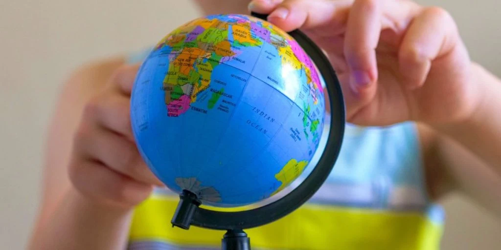
Every time we’ve looked at a map, we assumed we saw the world exactly as it exists. Visual representations shape how people view global power, geography, and prestige. Yet a centuries-old standard quietly warped our collective sense of scale for generations, subtly altering our understanding of international relationships.


A recent United Nations resolution brought forward by Togo calls for phasing out the traditional Mercator projection. The goal is to replace it with modern alternatives like the Equal Earth map, which accurately reflects real territorial proportions across the entire planet.
Under the 16th-century Mercator map, northern landmasses appear dramatically expanded while regions near the equator are severely shrunk. Africa suffers the largest distortion, appearing far smaller than its actual physical footprint. In reality, giant powers like China, Russia, and the United States can all fit inside the African continent with room to spare.
The United States stood alone in voting against the non-binding UN resolution, while six other countries chose to abstain. American officials dismissed the initiative as “superfluous”, according to The Guardian.
Despite the lack of legal enforcement behind the measure, the decision marks a key shift in how international bodies view cartographic standardisation. For decades, educators and cartographers have debated the psychological impact of using distorted projections in primary classrooms worldwide.


Power on paper
The Nigerian journalist Eromo Egbejule told The Guardian that opposition to the change turns a basic scientific discussion into a political clash: “I don’t see why it feels so strongly. This is a scientific discussion. It’s not an imposition.”
The debate reveals how deeply tied physical scale is to perceptions of international influence. On the old map, Greenland appears roughly equal in size to Africa, even though Africa is actually 14 times larger.
Egbejule noted that small diplomatic steps can build momentum toward broader structural change. “There’s two proverbs we have in pidgin,” Egbejule explained to The Guardian: “‘every dance begins with a clap’ and ‘it’s grains of rice that fill up a pot’.”
Supporters argue that correcting these long-standing visual biases can help dismantle centuries of Eurocentric historical framing. By presenting accurate physical dimensions, global institutions take a practical step toward equalising regional representation.
Campaigners view the push for map accuracy as a key step toward correcting historical narratives. As advocacy group Africa No Filter pointed out during the debate: “If we got something as basic as Africa’s size wrong for this long, what else about Africa have we simply accepted without questioning?”
Source: The Guardian