Data from the Sky, Warning for the Earth
Others are reading now
Data from the Sky, Warning for the Earth
Reading a Warming World from Space

Heat records, stronger storms, rising seas — climate change is no longer abstract, it’s visible in headlines and in daily life. But behind every graph and shocking statistic lies a quieter story: years of careful measurements taken far above Earth’s surface.
Satellites circling our planet have become its eyes and ears, turning invisible trends into hard evidence. Without those views from space, we wouldn’t just know less about the climate crisis — we might still be arguing about whether it’s even real.
A Record-Breaking Warning

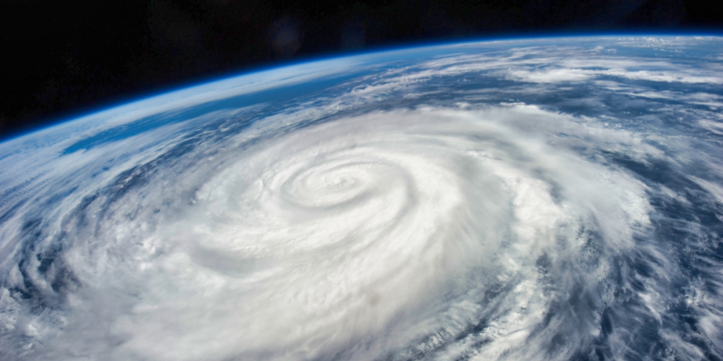
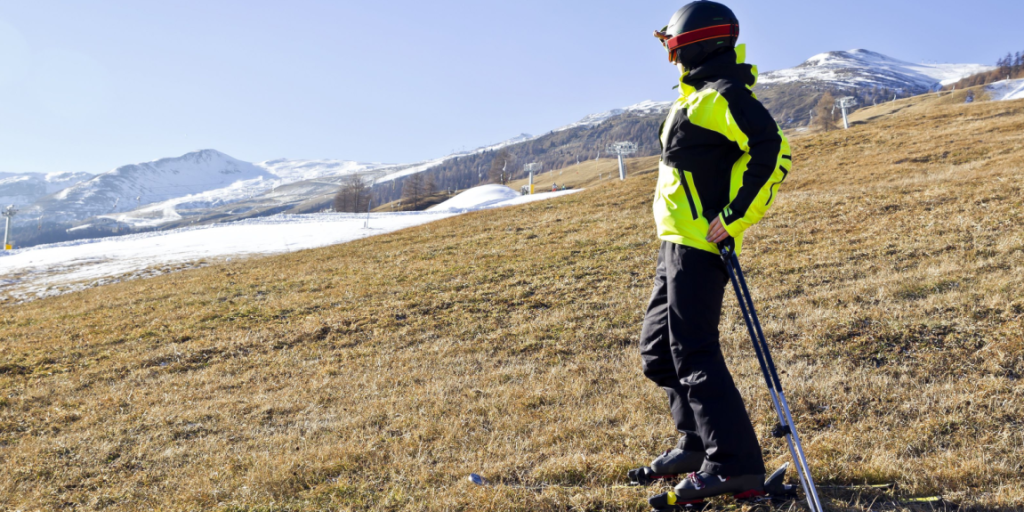
According to Space.com, the year 2024 shattered climate records: the hottest July in at least 175 years, the warmest summer since around 1880, and unprecedented storms like Hurricane Beryl, the earliest Category 4 hurricane on record. Glaciers are melting faster than ever, sea levels are rising irreversibly, and disasters like Hurricane Helene are being directly linked to a hotter climate.
The real power lies not only in these dramatic events, but in having the data that documents them. Satellites provide the long-term, global perspective needed to show that these are not isolated incidents — they are symptoms of a system under stress.
Also read
What Climate Satellites Actually Do

As reported by Space.com, climate-focused satellites measure far more than pretty pictures of Earth. Some carry spectrometers that track carbon dioxide in the atmosphere, clearly showing how burning coal, oil, and gas has pushed CO₂ levels higher and intensified the greenhouse effect.
Missions like Landsat reveal shrinking forests, changing land use, and the loss of wildlife habitats. Other spacecraft use lasers to measure how quickly ice sheets and glaciers are thinning, while synthetic aperture radar detects how the ground moves after earthquakes or as permafrost thaws.
Perhaps most striking, satellite gravimetry can sense subtle changes in Earth’s gravity field, revealing shifts in ice mass, sea level, and groundwater — changes invisible to our eyes but critical to our future.
From Raw Data to Climate Action

According to Space.com, this constant stream of satellite information underpins everything from international climate negotiations to day-to-day forecasting. At global meetings such as the COP conferences, long records of temperature, sea level, and ice loss form the backbone of scientific briefings to policymakers.
In the shorter term, hurricane-tracking satellites help predict landfall and save lives, while methane-monitoring missions pinpoint greenhouse gas hotspots that need urgent attention.
Also read
The article also highlights NASA’s planned Earth System Observatory, a future fleet designed to monitor the atmosphere, water, land, and ice as one integrated system. And among all these tools, scientist Cedric David points to radar altimetry as especially crucial: decades of radar measurements have produced 30 years of continuous sea-level curves, a clear, unmistakable record that the oceans are rising and the climate is changing.
What We’ve Learned

Together, these satellites act like a global health check for our planet. They reveal where heat is building, where ice is vanishing, where oceans are swelling, and where ecosystems are under pressure.
More than anything, they turn opinion into evidence: a long, consistent, independent record showing that Earth is warming, sea levels are rising, and human activity is the main driver. Without space-based measurements, we would be flying blind into the climate crisis.
No Plan B, Only Plan A

In the end, the view from space tells a simple story: this is the only world we’ve got. Satellites may orbit high above us, but their message is very down to Earth — our choices are reshaping the planet, and the data leaves no room for denial.
We can keep searching the cosmos for other worlds, but so far, every radar pulse and every image reminds us of the same truth: there is no real Plan B. There is only Plan A — protect the planet we already call home.


