Daniel Wolfram
The El Niño keeps getting more powerful.

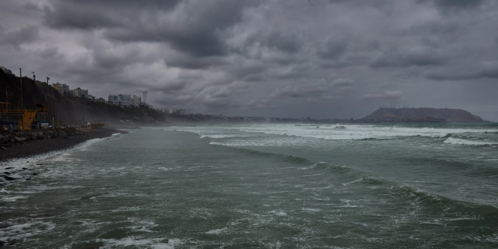
The weather phenomenon El Niño–Southern Oscillation has been a nuisance over the past couple of weeks all over the world.
El Niño emerges from the Pacific Ocean and is linked to climate change and has been traveling across the globe.
Experts are sounding the alarm about the coming winter in Europe.
Unprecedented ocean heat
According to reporting from The Mirror, daily sea surface temperatures hit a new record high this week.


UK Met Office experts say this sudden spike signals an extraordinarily strong El Niño. Professor Adam Scaife, Head of Long-Range Prediction at the agency, described the warming trend in stark terms.
“The rate of warming in the Pacific is exceptional, and probably the biggest event in 100 years, if not longer,” Professor Scaife told The Mirror. “We have not seen them that high.”
And it is not over yet. Scientists warn that the phenomenon has not even reached its peak, which is expected later in the year.
Global domino effect
Severe droughts have struck India and Panama, while the Amazon basin now faces dangerous dry conditions.
“We are a long way from the central Pacific, but mechanisms show a chain of events that crosses the globe; it is like dropping a boulder in a pond,” Professor Scaife noted.
By November, this atmospheric setup typically pulls low-pressure systems toward northwestern Europe. Heavy rain and fierce storms are expected.
A wild ride
Predicting exact long-term impacts remains tricky. Past El Niño events have triggered freezing winter spells in Europe, yet other years brought unseasonably mild temperatures.
Even so, scientists agree that the sheer scale of current warming is historic. Professor Bill McGuire from University College London warned that forecasts “suggest that the world is in for one hell of a ride.”
He added that Pacific heat is “all but certain to make this the most powerful El Niño in living memory, possibly even the biggest in several centuries.”