 Kathrine Frich
The move mirrors recent U.S. action to claim more of the Arctic seabed.
Others are reading now


The move mirrors recent U.S. action to claim more of the Arctic seabed.
Updated Maritime Borders
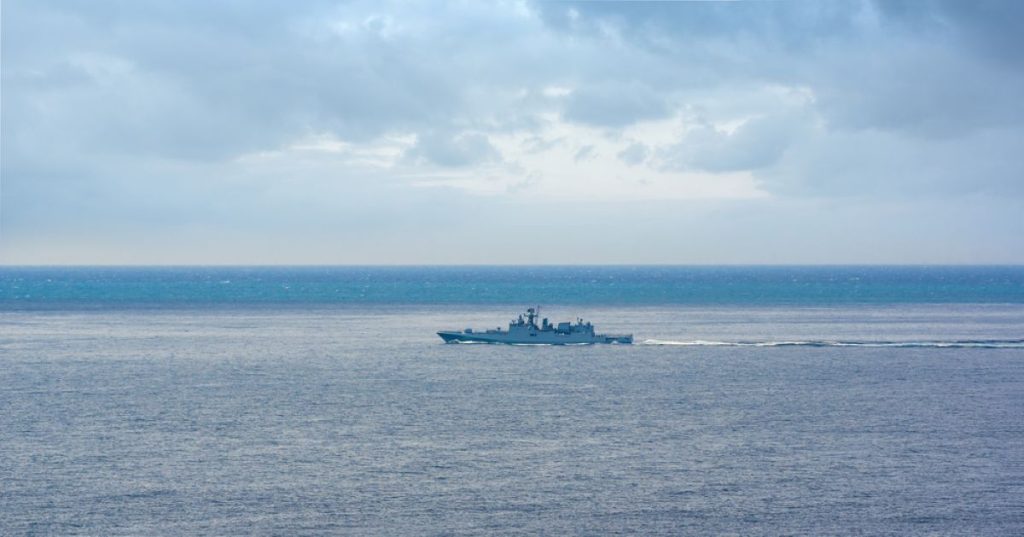
For the first time since the Soviet era, Russia has officially updated its maritime borders in the Baltic Sea.
The move comes amid rising geopolitical tensions and growing NATO presence in the region.
Here’s what’s behind Moscow’s decision and what it could signal for the future.


Soviet-Era Coordinates Now History
The Russian government has scrapped the maritime coordinates established in 1985 during the USSR.
A new list of baselines, used to calculate the country’s territorial sea, has been approved, officially replacing Cold War-era boundaries.
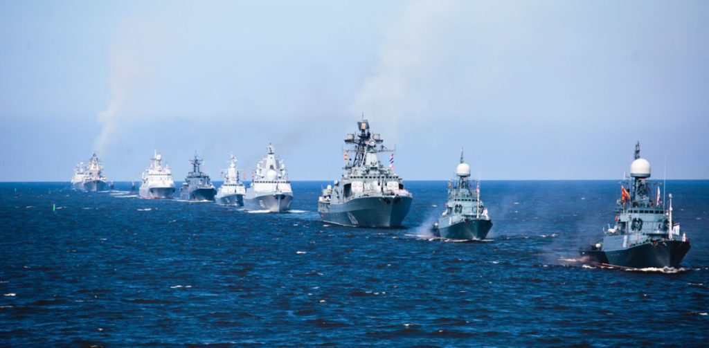
Baltic Realignment Stretches from Lithuania to Poland
The revised baseline runs from Russia’s land border with Lithuania to its frontier with Poland.
These baselines now define where Russian territorial waters begin, and from where its contiguous zone is measured.
Kaliningrad Waters Become “Internal”
Part of the changes includes redrawing the maritime boundaries around Kaliningrad.
New direct baselines allow Russia to treat some waters off Baltiysk and Zelenogradsk as internal, rather than international, a significant shift in legal and strategic terms.
Russia Cites Security, Not Politics
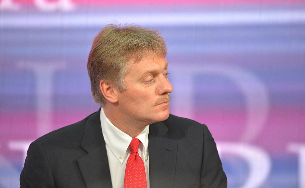
According to Kremlin spokesperson Dmitry Peskov, the move is driven by national security needs, not political grandstanding.
He acknowledged that the “political situation has changed significantly,” but insisted the changes are pragmatic.
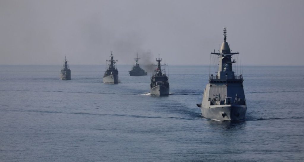
A Response to NATO’s Baltic Expansion?
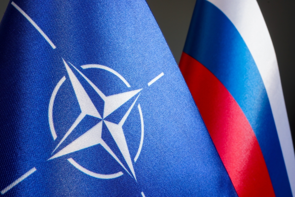
Senator Andrei Klimov noted that back when the original coordinates were drawn, the USSR included Estonia, Latvia, and Lithuania, and Poland was in the Warsaw Pact.
Today, these countries are all NATO members, and the Baltic has become a highly contested strategic zone.
Avoiding “Excesses” and Border Disputes
Officials say the revision was essential to prevent future maritime disputes.
By clearly defining updated coordinates, Russia hopes to eliminate ambiguity and avoid incidents with neighboring countries or NATO forces.
Russia to Update Global Maritime Charts
Following the government’s approval, the Russian Ministry of Defense will now revise all marine navigation charts.
Updated maps will also be submitted to the UN Secretary General via the Ministry of Foreign Affairs.
Echoes of the Arctic Shelf Dispute
The move mirrors recent U.S. action to claim more of the Arctic seabed.
Russia and China both pushed back, arguing Washington’s claims violate international norms, especially since the U.S. never ratified the UN Law of the Sea treaty.
The Baltic as NATO’s “Private Lake”?

Russian officials have voiced frustration that NATO now treats the Baltic Sea as if it were its own backyard.
Redrawing the boundaries is seen as a way for Moscow to reassert control and push back against perceived Western dominance.


