August M
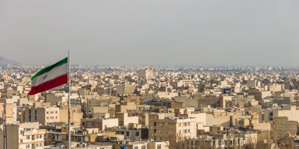
A leading satellite imaging company has tightened access to photos of the Middle East as the regional conflict intensifies. The move highlights the growing influence of private space companies in modern warfare.


US-based Planet Labs said it expanded restrictions on distributing its satellite images to prevent hostile actors from using them for attacks against the United States and its allies.
The company operates one of the world’s largest fleets of Earth-observation satellites and supplies frequently updated imagery to governments, businesses and media organizations, reports HotNews
Access delay extended
Planet Labs informed customers on Monday that the delay before images from the region become available would be extended to 14 days.
According to Reuters, the restriction had previously been set at four days but was lengthened due to the evolving situation.


A company spokesperson said the temporary step is designed to “limit the uncontrolled distribution of images, which could lead to their unintentional access and use as a tactical foothold by adversaries.”
“This conflict is dynamic and, in many ways, unique from others, therefore Planet is taking strong measures to ensure that our images do not contribute in any way to attacks on allied and NATO personnel and civilians,” the spokesperson added.
Space in warfare
Modern militaries depend heavily on space-based systems for tasks ranging from tracking missiles and guiding weapons to communications and surveillance.
US officials recently said that American space forces were among the “first to act” during operations linked to the conflict with Iran, according to Reuters. A spokesperson for US Space Command declined to provide further details about the capabilities used.
Space Command oversees missile detection, satellite communications security and monitoring of US and allied forces.
The growing availability of commercial satellite imagery has significantly expanded access to intelligence once limited to major space powers.
The data revolution
Analysts say the rapid growth of commercial space companies is reshaping how information is gathered and used in conflicts.
During the war in Ukraine, widely available satellite imagery helped governments and researchers track military movements and battlefield developments.
Satellite operators are increasingly turning to artificial intelligence to speed up the analysis of images and highlight key locations or changes on the ground.
Chris Moore, a defense industry consultant and retired British Army vice-marshal, told Reuters that such tools are transforming the field.
“This specialist analysis used to be reserved for high-level military analysts, but that is no longer the case,” Moore said.
He added that the growing number of observation satellites could eventually create “an all-seeing eye from space,” making it harder to hide military activity or spread disinformation.
Sources: Reuters, HotNews.ro